



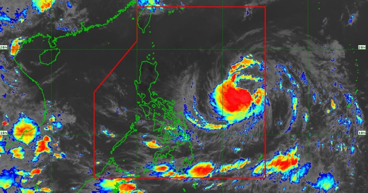
Tropical Storm Domeng has slightly intensified, now packing maximum sustained winds of 85 kilometers per hour near the center and gustiness of up to 105 kph, the weather bureau said Friday.
In its 11 a.m. bulletin, the Philippine Atmospheric, Geophysical and Astronomical Services Administration (PAGASA) said Domeng was last located 1,265 kilometers east of southeastern Luzon, moving northwestward at 15 kph.
Despite the strengthening system, PAGASA said no wind signals have been raised in any part of the country, as Domeng is still unlikely to directly affect local weather conditions within the next 24 hours.
However, the weather disturbance is already enhancing the southwest monsoon, which may bring heavy rains over the western sections of the country starting Sunday.
PAGASA warned that the enhanced southwest monsoon will also trigger strong to gale-force gusts across several areas beginning Saturday.
The weather bureau added that Domeng is forecast to continue intensifying and may reach typhoon category by Saturday while remaining over the Philippine Sea.
After reaching peak strength, the system is expected to gradually weaken.
PAGASA also said Domeng is less likely to make landfall and may exit the Philippine Area of Responsibility by Monday.
Photo courtesy of DOST-PAGASA















Comments