



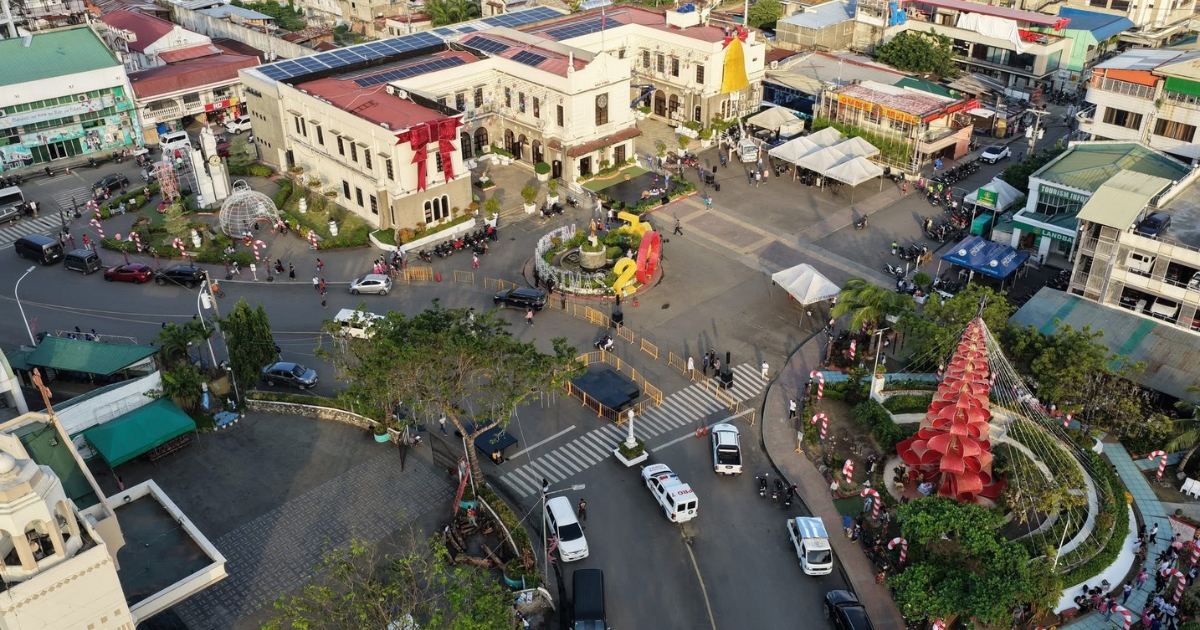
The Mandaue City Government has secured a P5-million grant from the Department of Science and Technology (DOST) for a drone-based “digital twin” project that aims to improve disaster preparedness, urban planning, and public services through advanced mapping technology.
City Councilor Carlo Fortuna said the funding will support the acquisition of drone technology that will generate a digital map of Mandaue City, allowing authorities to identify areas vulnerable to disasters and other urban challenges.
The system is expected to help monitor locations prone to flooding, fires, traffic congestion, and other risks by providing data that can guide government planning and decision-making.
“The City of Mandaue is very fortunate that DOST has partnered with us to make Mandaue a smart city,” Fortuna said.
The digital twin initiative is part of the Smart Mandaue Road Map, which was launched during the Regional Science, Technology, and Innovation Week on July 13.
The roadmap aims to use science and technology to strengthen disaster resilience, urban development, environmental management, and community planning.
Fortuna said the City Planning and Development Office will oversee the implementation of the project, with the collected data serving as a reference for addressing the city’s priority concerns.
The Mandaue City Council earlier approved a resolution authorizing Mayor Thadeo Jovito “Jonkie” Ouano to enter into a Memorandum of Agreement with DOST for the project.
Fortuna said the program will run until 2029, providing the city with detailed mapping data that can support infrastructure planning, traffic management, disaster response, and other government services.















Comments