Tropical cyclone Ada has officially weakened into a remnant low, while a separate low pressure area outside the Philippine Area of Responsibility (PAR) is also unlikely to affect the country’s weather in the next 24 hours, the Philippine Atmospheric, Geophysical and Astronomical Services Administration (PAGASA) reported on Wednesday.
Ada, internationally named Nokaen, was last tracked 1,285 kilometers east of Central Luzon.
The cyclone moved steadily away from the country at a speed of 10 kilometers per hour.
Prior to weakening, Ada maintained maximum sustained winds of 55 kph near its center, with gusts reaching up to 70 kph.
PAGASA forecasts that the remnant low will fully dissipate within the next 48 hours.
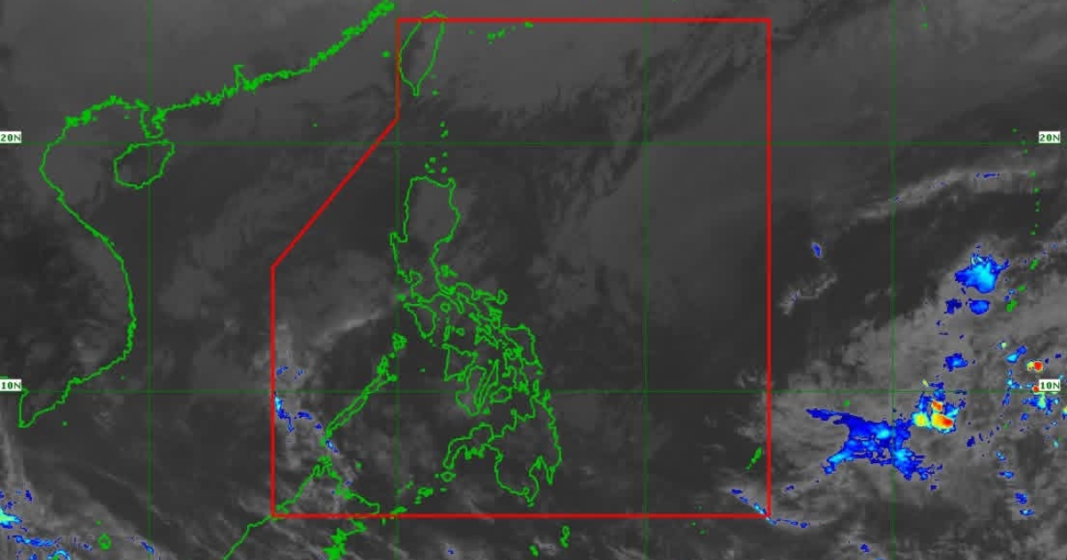
Meanwhile, a low pressure area situated 2,225 kilometers east of southeastern Mindanao also shows minimal chance of development.
“Just like Ada, the LPA has no direct effect on any part of the country,” PAGASA weather specialist Benison Estareja said during a press briefing.
He noted that while the system has a slim chance of developing into a tropical cyclone within the next day, it currently does not pose a threat to any region.
Even as these systems remain far from the Philippines, the northeast monsoon continues to influence weather conditions across large parts of the country.
Estareja said strong to gale-force gusts are expected in most of Luzon, Visayas, Caraga, Davao Region, Zamboanga Peninsula, and the provinces of Camiguin, Misamis Oriental, Lanao del Norte, Basilan, and Tawi-Tawi.
PAGASA also reminded the public that gale warnings remain in effect over the eastern seaboards of Luzon as well as the northern and western seaboards of Northern Luzon.
Authorities urged communities and seafarers to stay alert and monitor updates as the northeast monsoon persists in affecting maritime and coastal areas.